Koondrook shared pathway
- Project typeNew pathway
- Project value$290,000
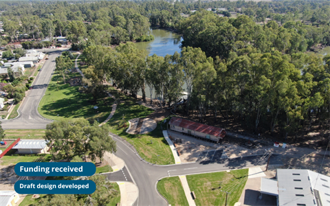
A 630-metre shared cycling and pedestrian path between Apex Park, Koondrook and Koondrook Primary School will be constructed thanks to the Victorian Government’s Local Transport Solutions Program.
Council received $145,000 from the Victorian Government for the $290,000 project, which will create a shared walking and cycling path that will improve safety and connectivity in Koondrook.
Proposed design
The proposed 630-metre path will begin at Apex Park, extend along the southern side of Arbuthnot Street and continue north along the western side of Forest Street to Koondrook Primary School.
Once completed, this path will provide a safer alternative to the existing informal route between the township and school precinct, which currently passes through an active industrial area.
Map 1 - Arbuthnot Street
Map 2 - Forest Street, between Arbuthnot and Teague streets (south)
Map 3 - Forest Street, between Arbuthnot and Teague streets (north)
Map 4 - Forest Street, between Teague and Tower streets
Map 5 - Intersection of Forest Street and Murray Parade
Council sought feedback from residents along the route and Koondrook Primary School during an engagement period conducted during October 2026 and November 2026.
Location
Forest Street, Koondrook 3580 View Map
-35.6429439,144.1295765
Forest Street ,
Koondrook 3580
Forest Street ,
Koondrook 3580
Koondrook shared pathway